
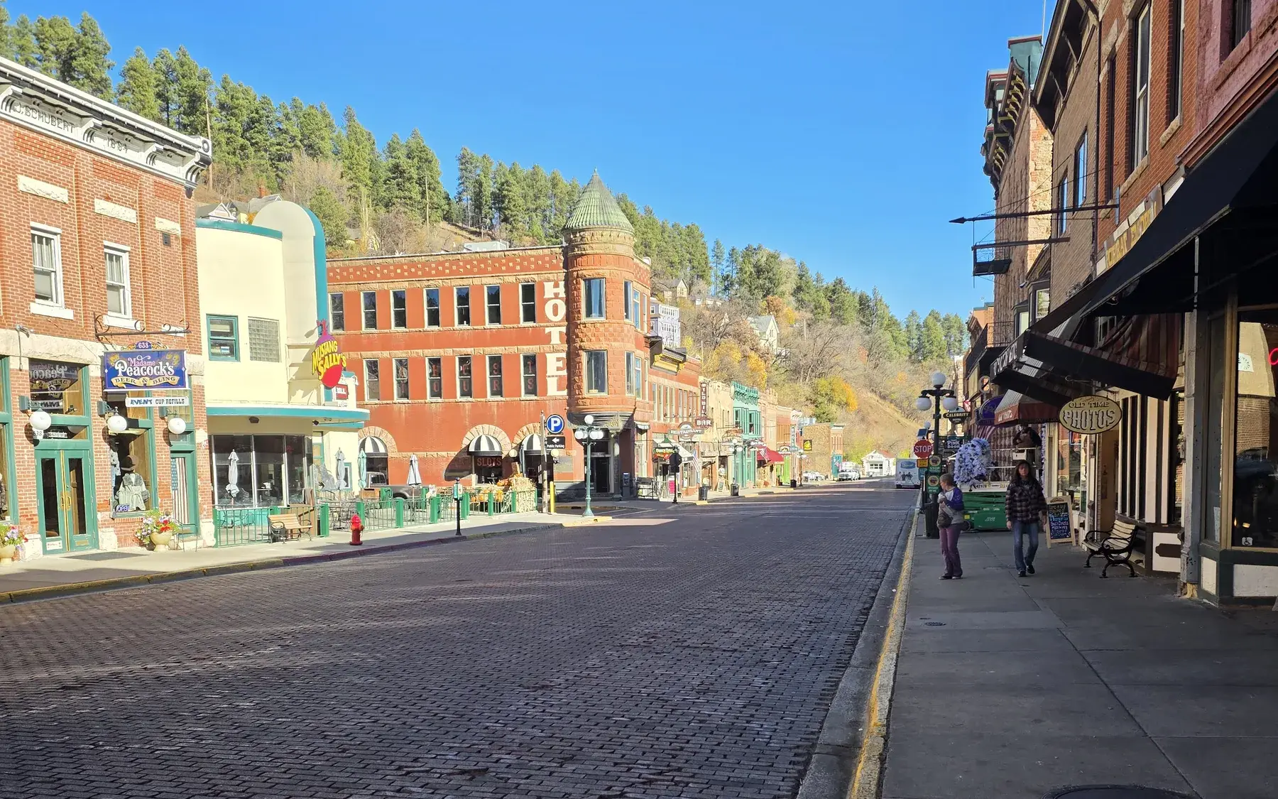
Deadwood Gulch
The steep, narrow canyon that gave the town its shape and its name.
Deadwood Gulch is the terrain behind everything in town. The city was built where Deadwood and Whitewood gulches meet, and the historic district documents describe a community in a basic Y shape whose rugged topography has allowed little new growth. That constraint explains why so much of the historic town survives: there was nowhere else to build, and later construction mostly clustered along the narrow valley streets at the edges.
The gulch was also a mining landscape. Claims were issued upstream and downstream from the point of discovery, from canyon rim to canyon rim, and camps grew up around them. Its narrowest stretch held Chinatown, at the lower end of Main Street.
You can take in the whole setting from above at Mount Moriah Cemetery, which sits on a plateau overlooking the gulch. The city’s walking tour points out that the ridgeline beyond Main Street remains relatively unchanged after more than a century of development.
Sources: NPS: Deadwood Historic District nomination and amendment, City of Deadwood: Mount Moriah Cemetery, City of Deadwood Archives: Historic Deadwood Walking Tour
Nearby
Mr. Goodstores
Spread over three floors and 15,000 square feet on Main Street, this store sells toys, games, puzzles, hats, clothing and…
Pam's Purple Door
This Main Street gift shop carries T-shirts, sweatshirts, shot glasses, magnets, fudge, toys, wigs and costumes. It also…
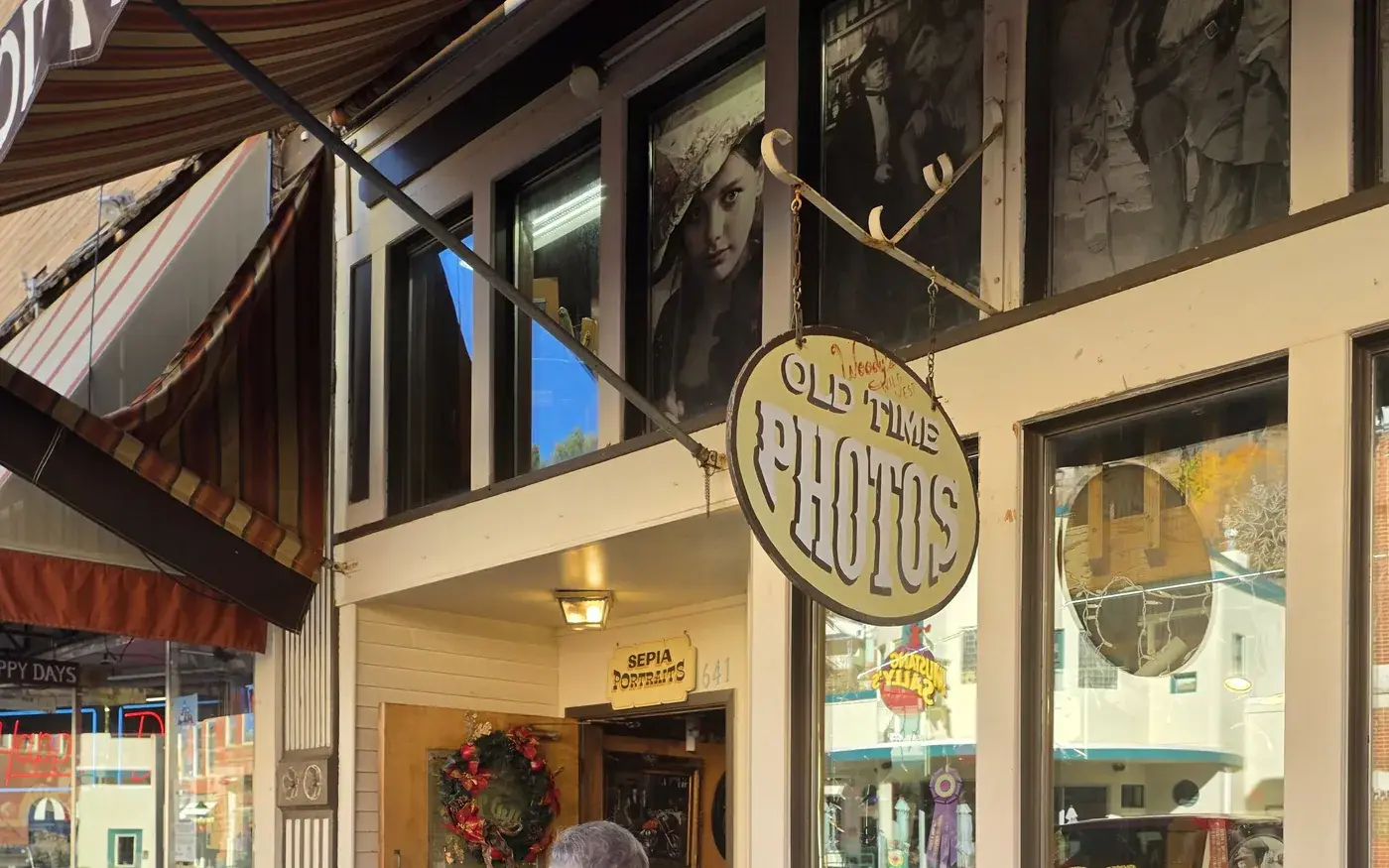
Woody's Wild West Old Time Photos
At this Main Street photo studio, open more than 30 years, guests choose from over 25 sets and 1,000 costume combinations,…
Happy Days Gift Shop
Happy Days on Main Street sells nostalgia-driven memorabilia and collectibles, from Elvis, Marilyn and James Dean items to…
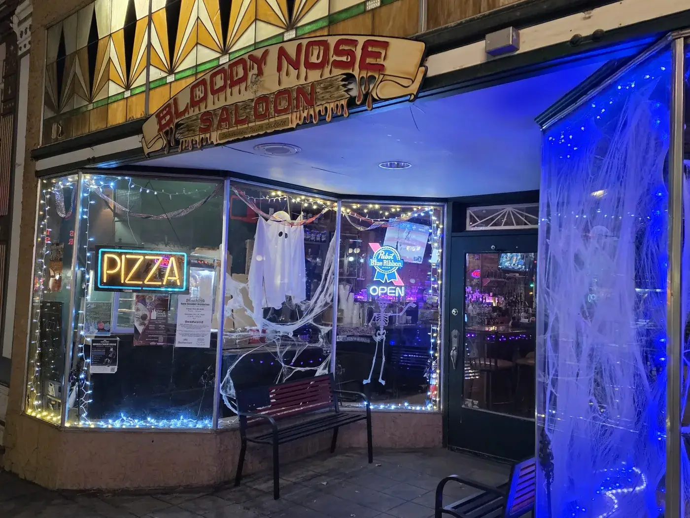
Bloody Nose Saloon
On Historic Main Street, Bloody Nose Saloon serves pizza and cocktails with live music in a laid-back room. Families are…
Miss Kitty's Mercantile
Miss Kitty's Mercantile on Main Street sells work by South Dakota artists, Montana Silversmith buckles and jewelry, Prairie…