
Explore
Maps, neighborhoods, and how to get around once you're here.
Maps and guides
Beyond downtown
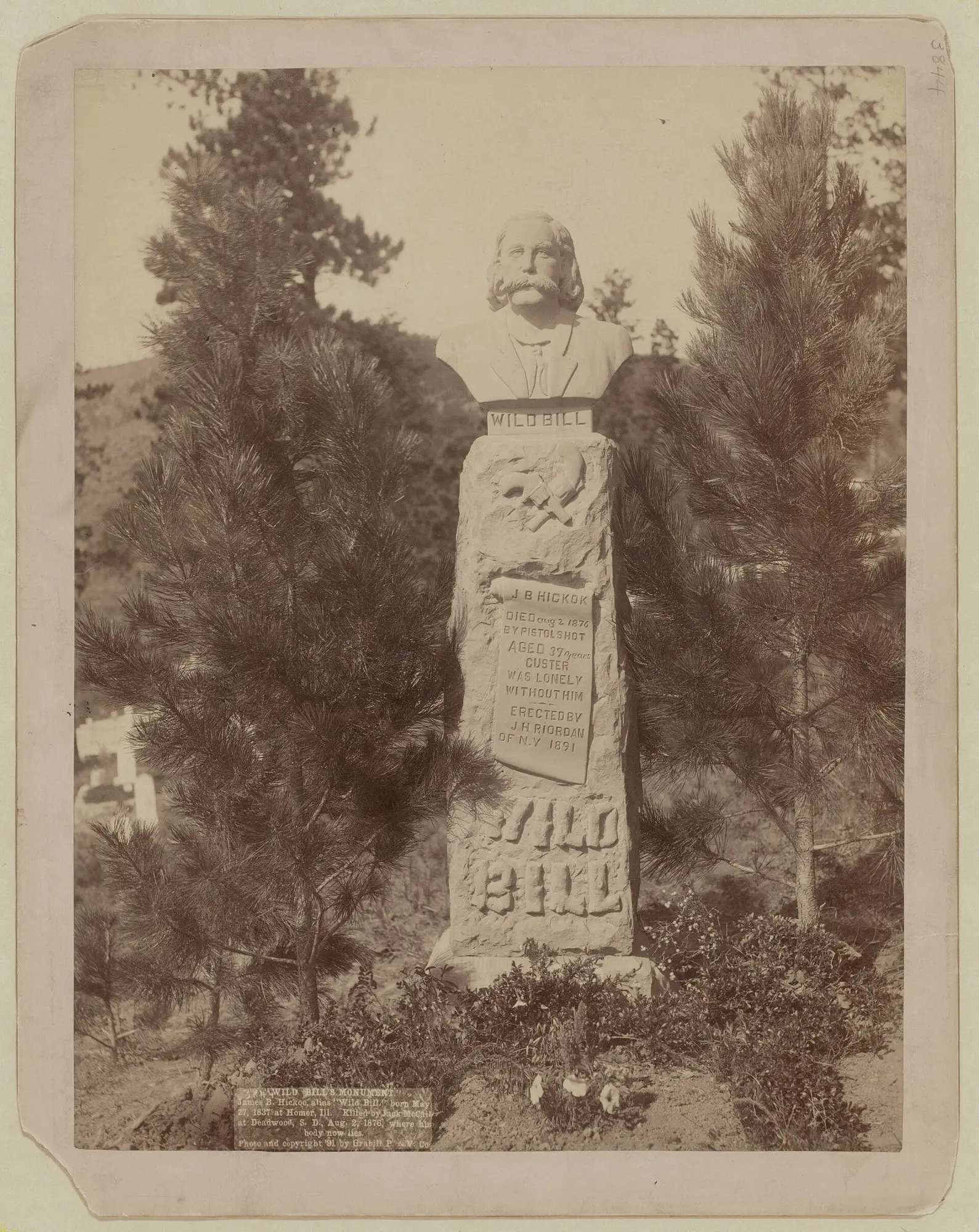
Mount Moriah
The 1878 hilltop cemetery above town, resting place of Wild Bill Hickok, Calamity Jane and Seth Bullock.
Presidential Neighborhood
Landmark houses on the hillside streets named for U.S. presidents, above the south end of town.
Williams Street
The most visually distinct of Deadwood's historic residential streets, climbing the hillside above Main Street.
Deadwood Gulch
The steep, narrow canyon that gave the town its shape and its name.
Whitewood Creek
The creek that shaped downtown, flooded it, and now runs mostly unseen beneath the highway.
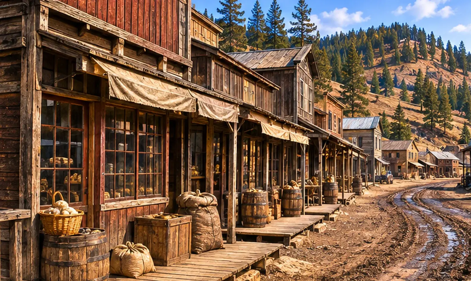
Chinatown
Once the center of Deadwood's Chinese community, in the narrowest part of the gulch on lower Main Street.
Pluma and South Gateway
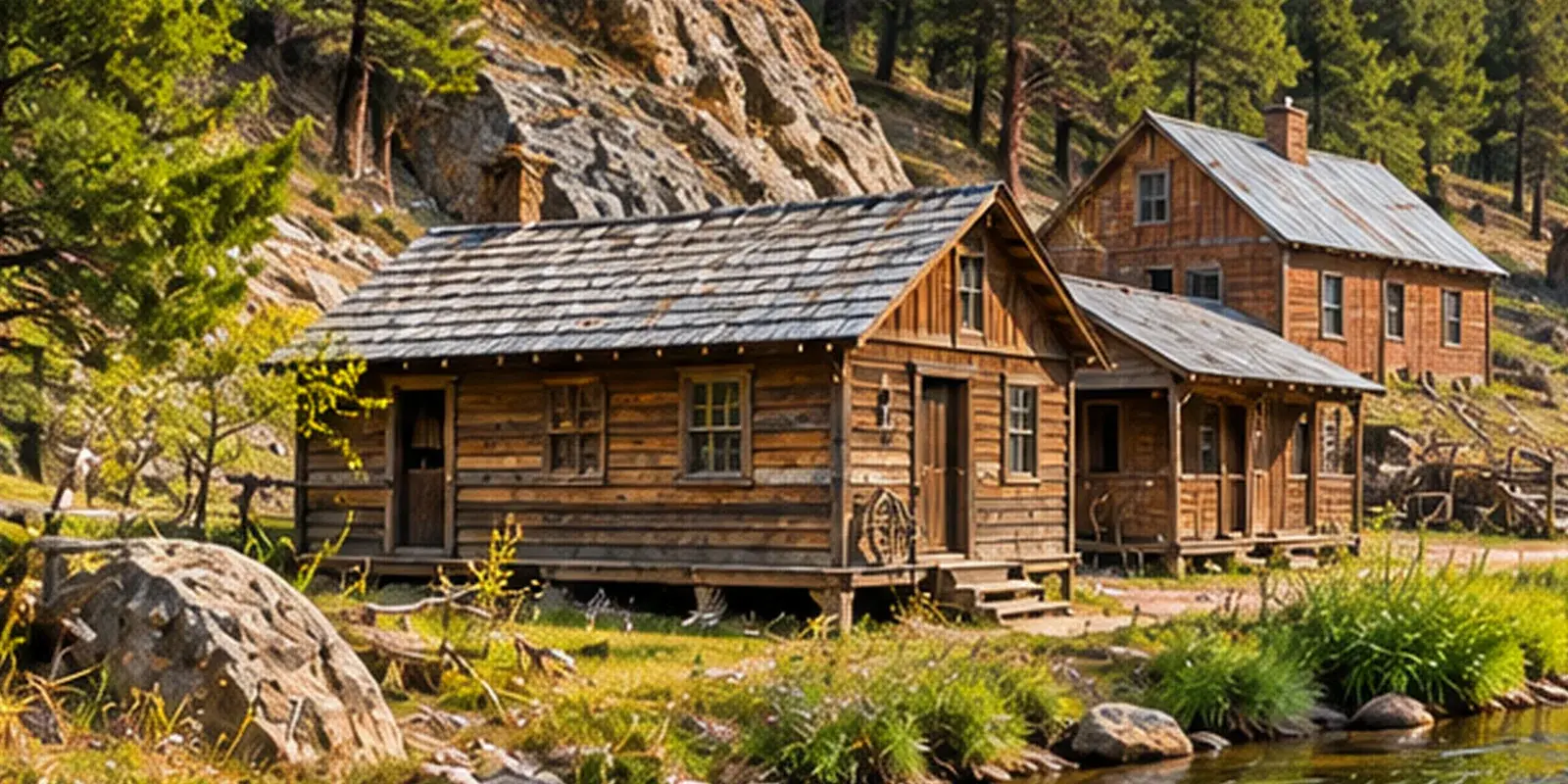
A former crossroads community between Deadwood and Lead, annexed into the city in 1985.
Deadwood Mountain Grand
A former Homestake slime plant on the hill above town, reused as a hotel, casino and event venue.
Ingleside
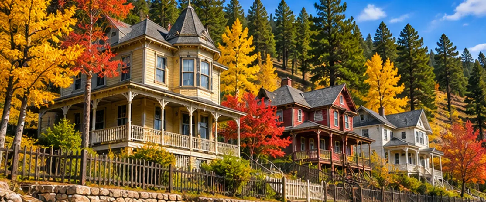
One of the mining camps that merged into Deadwood; its name survives in local history.
Elizabethtown
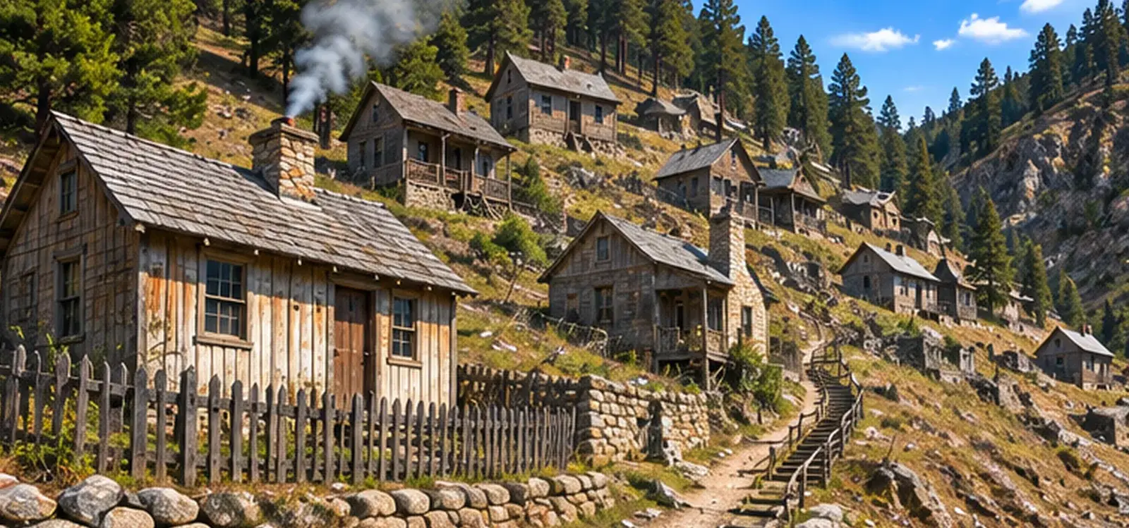
A gold-rush camp, later part of Deadwood, whose name locals are said to still use.
McGovern Hill
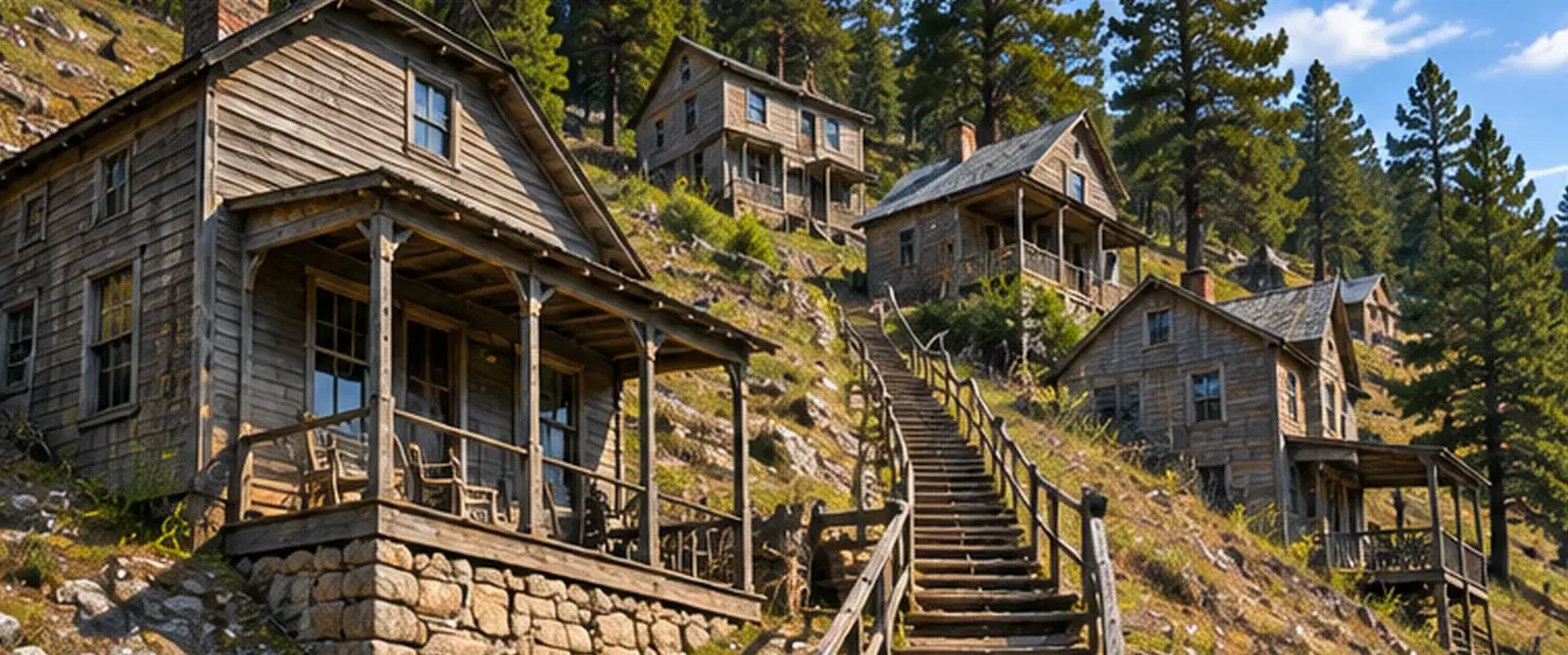
A large, lightly populated hillside neighborhood near the junction of Whitewood and Deadwood creeks.